


Hurricane Ida is making a beeline for the U.S. Gulf Coast, likely turning into a catastrophic storm with life-threatening impacts.
Related: Freight rail operations brace for Hurricane Ida
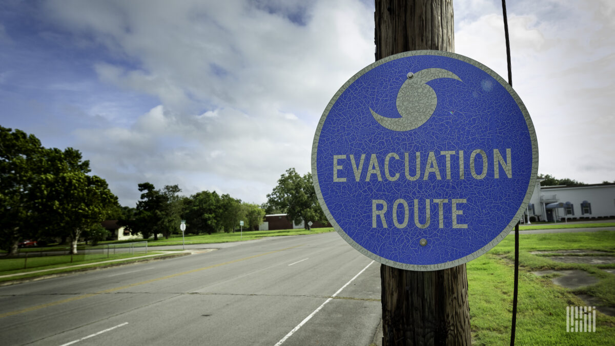
Evacuations began Friday in several Louisiana parishes and Hancock County, Mississippi. Louisiana Gov. John Bel Edwards issued a state of emergency Thursday, and Mayor Andrew “FoFo” Gilich issued a state of emergency Friday for Biloxi, Mississippi. More evacuations could follow.
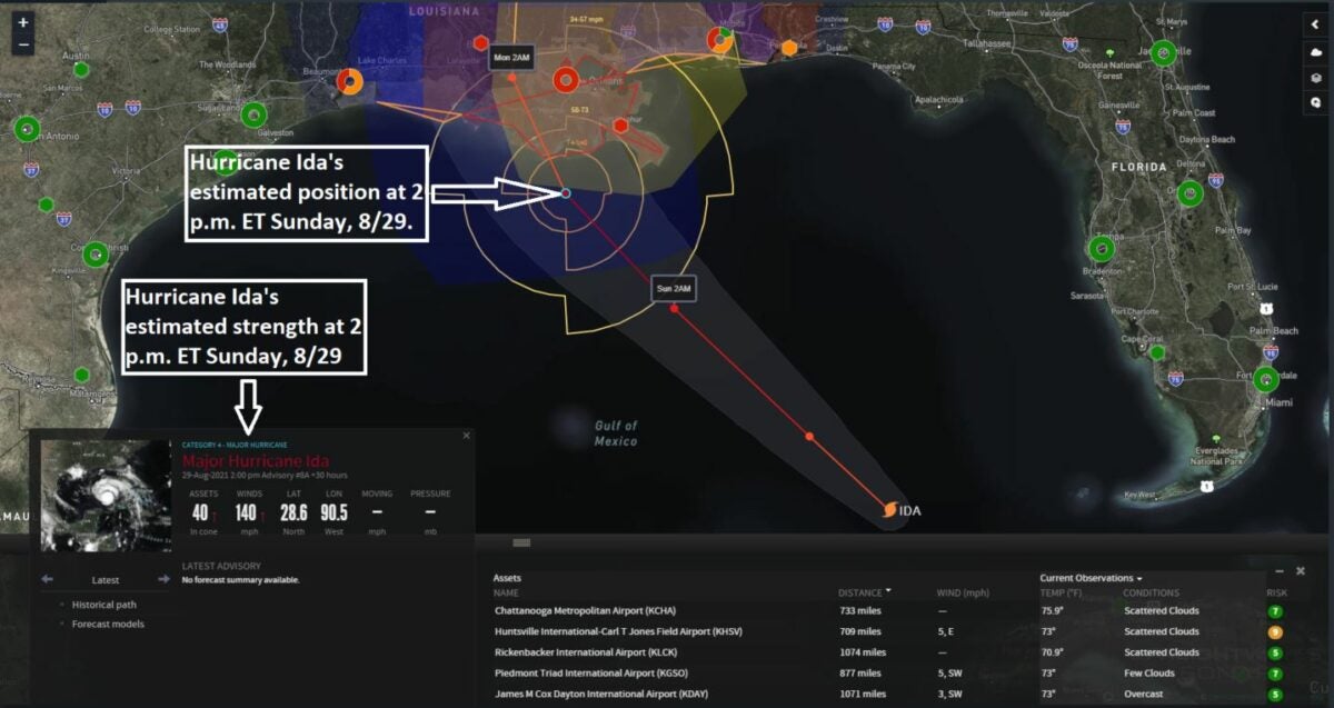
Ida quickly strengthened from a tropical storm Thursday afternoon to a Category 1 hurricane within 24 hours. The National Hurricane Center is predicting rapid intensification this weekend as Ida moves across the Gulf waters.
The NHC has upgraded its hurricane watch to a warning from Intracoastal City, Louisiana, to the Mouth of the Pearl River, as well as to the Lake Pontchartrain, Lake Maurepas and metropolitan New Orleans areas.
Tropical storm conditions will begin Saturday afternoon or evening, followed by hurricane conditions late Saturday night into early Sunday.
The NHC’s latest outlook, as of 8 a.m. ET Saturday, has Ida making landfall somewhere in the hurricane warning area early Sunday afternoon as a major Category 4 storm, with sustained winds up to 140 mph. This would coincide with the 16th anniversary of Hurricane Katrina’s landfall in New Orleans.
Once Ida strikes, widespread power outages and impassable roads are likely, along with life-threatening flooding due to storm surge and heavy rainfall.
A storm surge warning is in effect from east of the Rockefeller Wildlife Refuge in Louisiana to the Mississippi-Alabama border, in addition to Vermilion Bay, Lake Borgne, Lake Pontchartrain and Lake Maurepas. These areas could see wave heights of 7 to 15 feet.
Related: Logistics groups ready to help during potentially busy hurricane season
This remains a developing situation. Look for updates on FreightWaves.com and social media accounts.
Click here for more FreightWaves articles by Nick Austin.
You might also like:
Long view: Preparing logistically for extreme weather
