


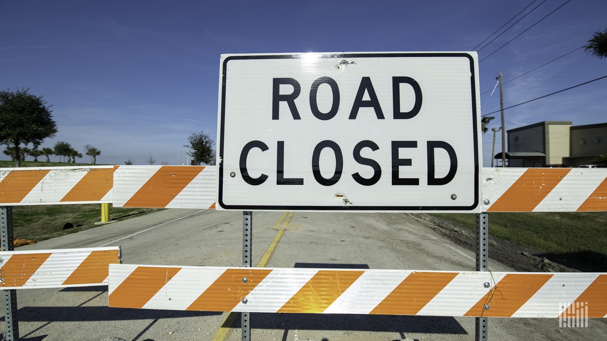
Heavy rain from slow-moving thunderstorms Monday virtually drowned parts of the Deep South. Lake Charles, Louisiana, was hit the hardest.
The city’s regional airport received a daily record 12.49 inches of rain, smashing the old May 17 record of 3 inches set in 1914. It was also the third-wettest calendar day on record for Lake Charles.
The Louisiana Office of State Fire Marshal tweeted that two dozen personnel had been deployed to the Lake Charles area with nine boats. This was part of a response that included about 30 rescues or requests to evacuate in an hour.
The office added, “Please keep the residents of southwest Louisiana in your thoughts tonight.”
The floods came as Lake Charles was still recovering from Hurricane Laura damage in 2020, as well as an ice storm in February.
Gov. John Bel Edwards issued a state of emergency due to the flooding and tornado warnings in southwestern Louisiana. He urged people throughout the state to be prepared, because more heavy rain is forecast over the next several days.
“Water rescues and other emergency actions have been necessary this afternoon as heavy rainfall fell across Southwest Louisiana,” Edwards said in a statement. “We are only a few weeks away from the start of hurricane season, but this threat is the latest in a string of recent weather threats that remind us of the importance of preparedness and staying informed.”
Three other airports measured daily record rain Monday. Beaumont-Port Arthur, Texas, had 9.86 inches; Lafayette, Louisiana, had 6.37 inches; and New Iberia, Louisiana, had 4.34 inches.
The National Weather Service (NWS) has issued flash flood watches for all of eastern and southern Texas, including Dallas-Fort Worth, Houston, Austin, San Antonio and Brownsville. Flood watches are also in place for the Arklatex region, including Texarkana, Texas, and Shreveport, Louisiana, as well as Oklahoma City. These areas will be most prone to flooding over the next few days. However, it could happen in other parts of the region, and the NWS may add areas to the watch.
Click here for more FreightWaves articles by Nick Austin.
You might also like:
Vessel traffic flowing again on Mississippi River under I-40
